Lechtaler Höhenweg - Holiday in the holidayregion TirolWest

Long-distance hiking trails

Lechtaler Höhenweg

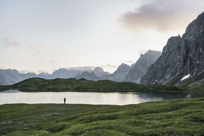
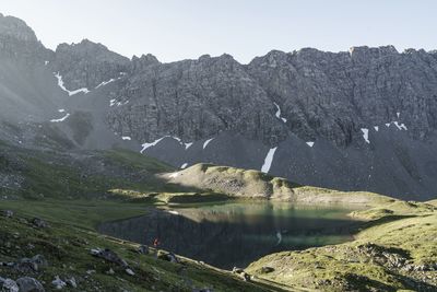
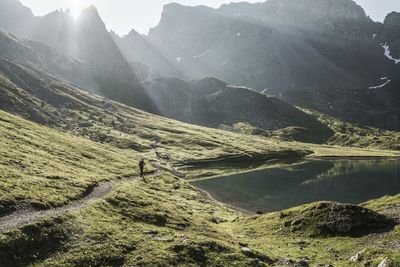
This magnificent trail leads in elegant lines and partly over the numerous peaks. The Lechtal Alps represent the longest closed ridge in the Northern Limestone Alps.

Its highest elevation, the 3,036 m high Parseier Spitze, is the only 3,000-meter peak. The Lechtaler Höhenweg follows in its entire course the Nordalpenweg (long-distance hiking trail) no. 601 or the European long-distance hiking trail no. 4 alpine.
 

At a Glance

Difficulty level:difficult

Information

Starting point:767
Finishing point:Anhalter Hütte bzw. Elmen im Lechtal
Path surface:Asphalt, Schotterweg, Forstweg, Steig

Route type

Multiday hike:Yes

Fitness & technique

Fitness:5
Technical:5

Best season

Jul:Yes
Aug:Yes
Sep:Yes
Oct:Yes

Altitude Profile

GPS Track

Download

Route by

Google Maps

Recommendable for Lechtaler Höhenweg

In areas ofHiking & mountain tour, Mountain hut

Steinseehütte  2 069m

Hiking & mountain tour: Steinseehütte 2 069m

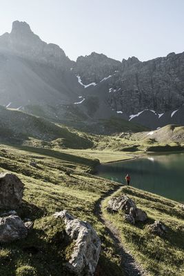
The Steinseehütte, located below the lake of the same name on a green terrace, surrounded by the mighty Parzinn group, is an ideal base for climbing, hiking, mountaineering, or just to unwind.

Württemberger Haus  2 220m

Mountain hut: Württemberger Haus 2 220m

Like the neighboring Steinseehütte and Memmingerhütte, the Württemberger Haus (2.220 m) is located on the Lechtaler Höhenweg and the Adlerweg. Please note: The Württemberger Haus will be closed in summer 2024 due to renovation work.

Memminger Hütte  2 242m

Hiking & mountain tour: Memminger Hütte 2 242m

The Memminger Hütte is located at 2.242m and is an important milestone on the E5 European long-distance hiking trail.

Online Booking / Request