At a Glance | |
|---|---|
| Difficulty level: | medium difficulty |
| Elevation loss: | 652 m |
Information | |
|---|---|
| Walking time / descent: | 3.25 h |
| Walking time / ascent: | 2.5 h |
| Starting point: | Landeck Castle |
| Finishing point: | Landeck Castle |
Fitness & technique | |
|---|---|
| Fitness: | 4 |
| Technical: | 3 |
Best season | |
|---|---|
| May: | Yes |
| Jun: | Yes |
| Jul: | Yes |
| Aug: | Yes |
| Sep: | Yes |
| Oct: | Yes |
Route type | |
|---|---|
| Circular hike: | Yes |
| Multi-Day Tour Feature: | Tour Stage |
Getting there | |
|---|---|
| Arrival by public transport: |
From the Landeck-Zams train station, take any VVT bus to the city center. From there, it’s about a 15–20-minute walk to the church, or you can take bus line 2 (Kirche stop). Check the SCHEDULE. |
| Arrival by car: |
We recommend using the Landeck multi-day parking lot at Innstraße 44. From the multi-day parking lot, it takes about 15–20 minutes to walk to Landeck City Church. Alternatively, you can take bus line 2 from downtown Landeck to the church. Please check the SCHEDULE. Landeck Long-Term parking lot at 44 Innstraße |
| City: | Landeck | Fließ |
 TirolWest


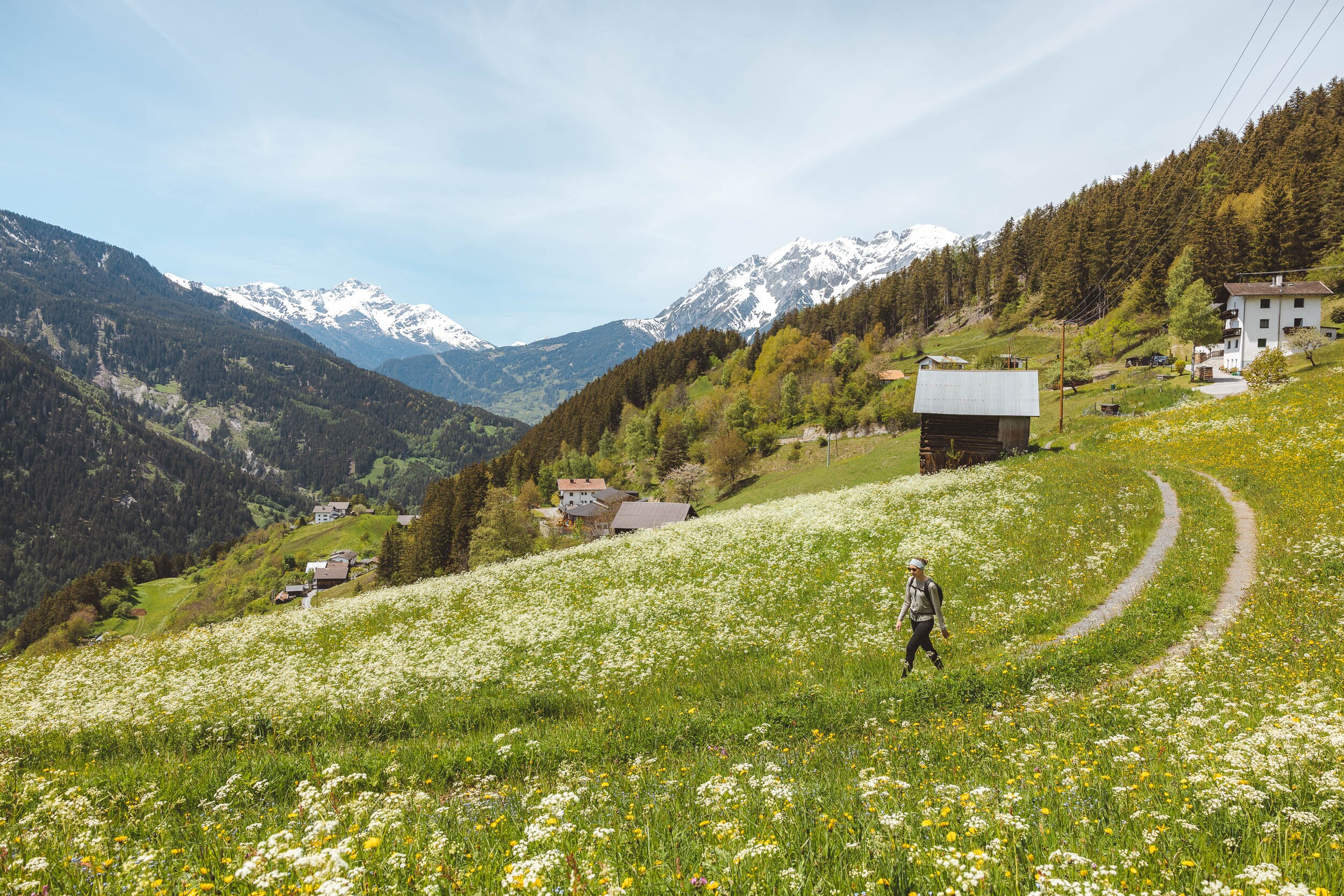

Recommendable for Burgenweg Landeck - Fließ - Landeck
In areas ofSPW ET7 Must-do's, Abschnitt_1, point of history, fotopoint, Museum & exhibition, Sightseeing

SPW ET7 Must-do's: Museum Galerie Schloss Landeck
Discover Landeck Castle with its local history museum, the Schlossgalerie and its events.

Abschnitt_1: Langpieze Schlosswald
Pieze ist die lokale Bezeichnung für einen künstlich angelegten Teich, der hier im inneralpin gelegenen und recht niederschlagsarmen Bereich des Oberen Inntals zur Bewässerung der landwirtschaftlich genutzten Felder dient. Mittlerweile werden diese durch den Rückgang der Landwirtschaft im Raum Landeck zwar großteils nicht mehr genutzt, da diese aber als Biotope Lebensraum für zahlreiche seltene Tierarten sind, stellen diese nach wie vor einen bedeutenden ökologischen Bestandteil dieser Landschaft dar.

point of history: Schwaighof
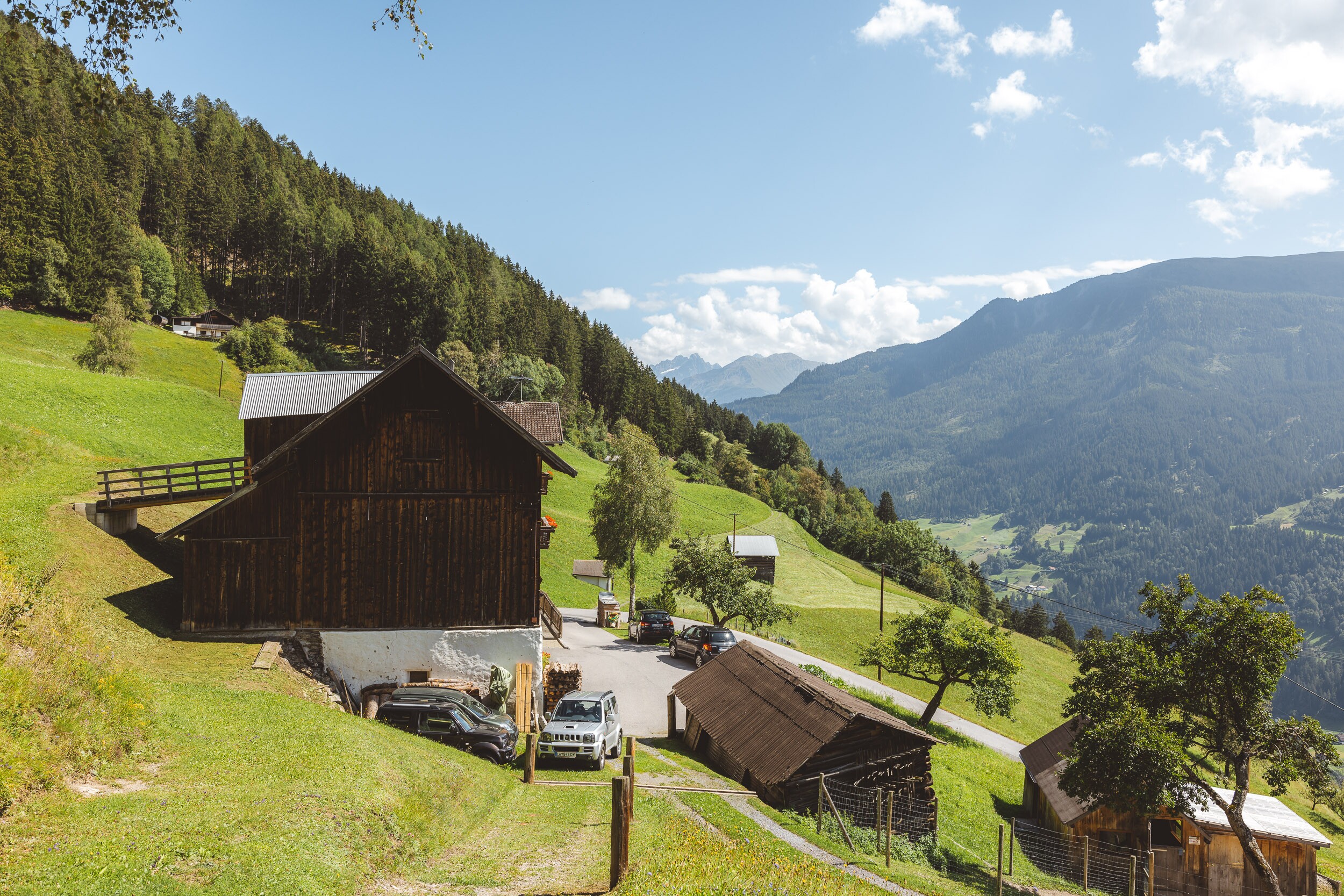
The Schwaighof is situated on the Burgenweg and offers a fantastic view of the Oberland.

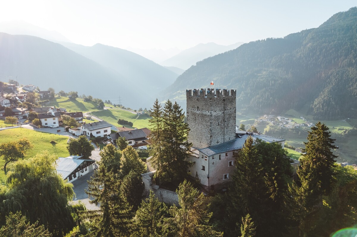
fotopoint: Fotopunkt Schloss Biedenegg
Hier haben wir den schönsten Ausblick auf Schloss Biedenegg
Museum & exhibition: Documentation Center VCA
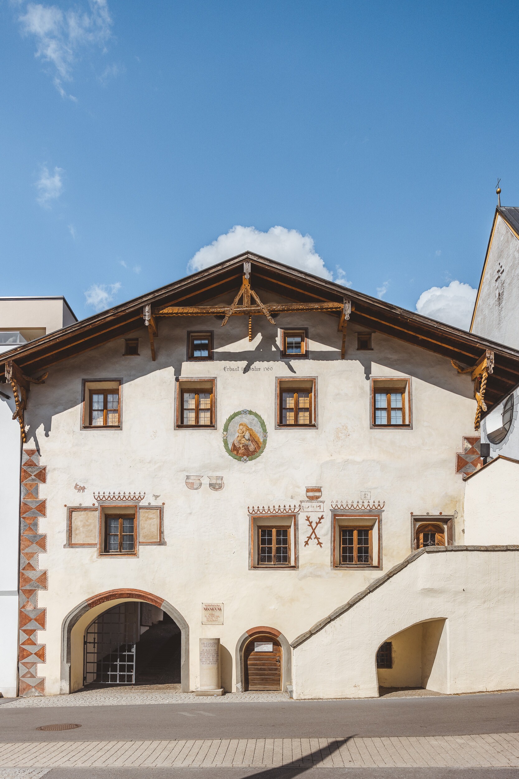
Located right next to the Fließ Archaeological Museum, the Via Claudia Augusta Documentation Center offers fascinating insights into the history of the first Roman
road through the Alps.

Sightseeing: Barbarakirche flow
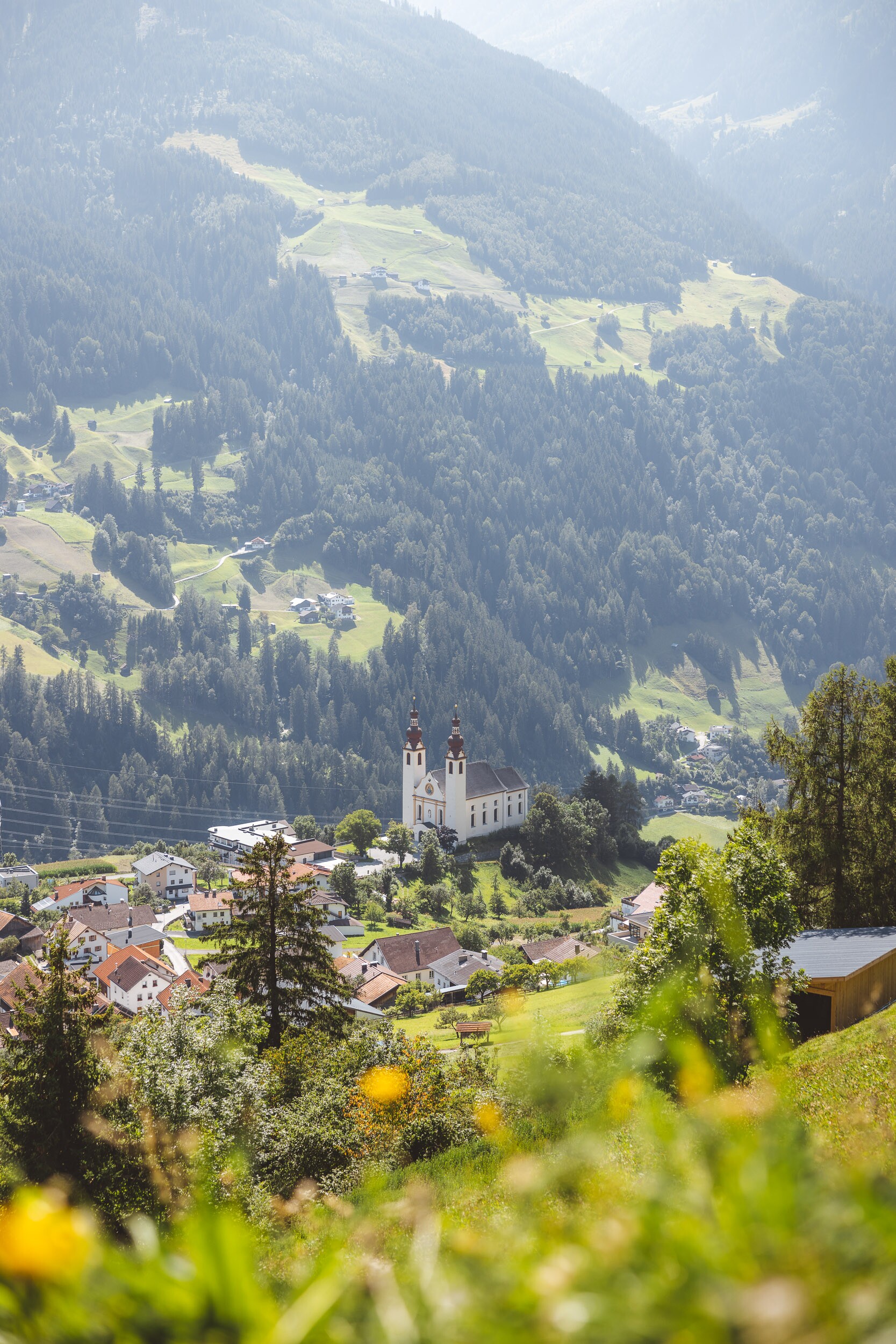
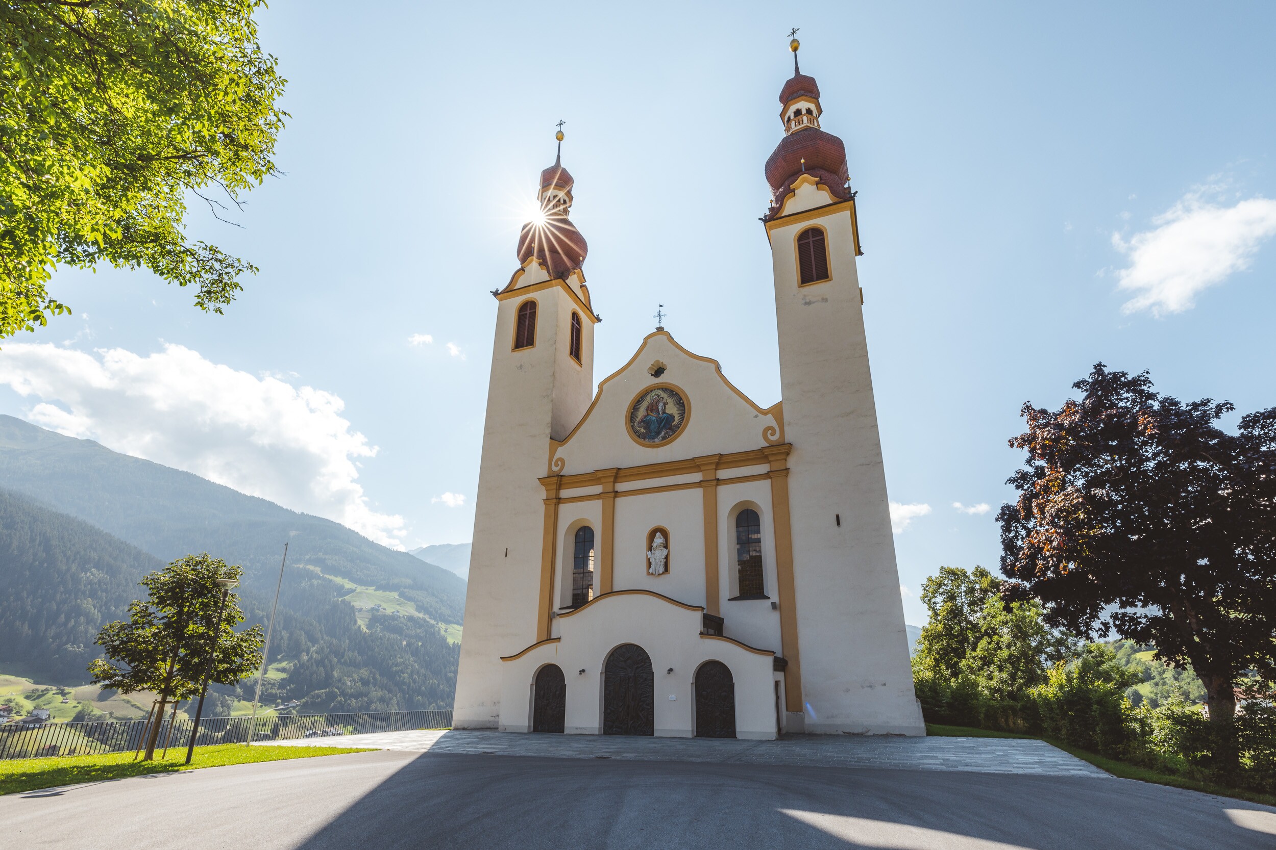
On a plateau above the Inn valley at the western outskirts of the river rises the new parish church.

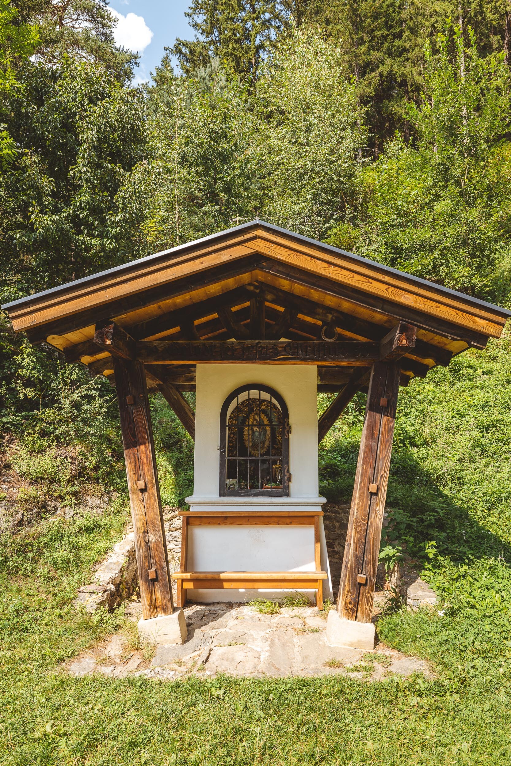
Abschnitt_1: Fotopunkt Antoniuskapelle
St Anthony’s Chapel is situated just outside the centre of Fließ and offers a magnificent view of the surrounding countryside.

Abschnitt_1: Fließer Platte Via Claudia Augusta
Following in the footsteps of history: The hike across the Fließer Platte along the Via Claudia Augusta combines stunning natural scenery, sweeping views, and Roman history.