At a Glance | |
|---|---|
| Difficulty level: | medium difficulty |
| Elevation loss: | 835 m |
| Walking time / ascent: | 0.5 h |
Information | |
|---|---|
| Walking time / descent: | 2.75 h |
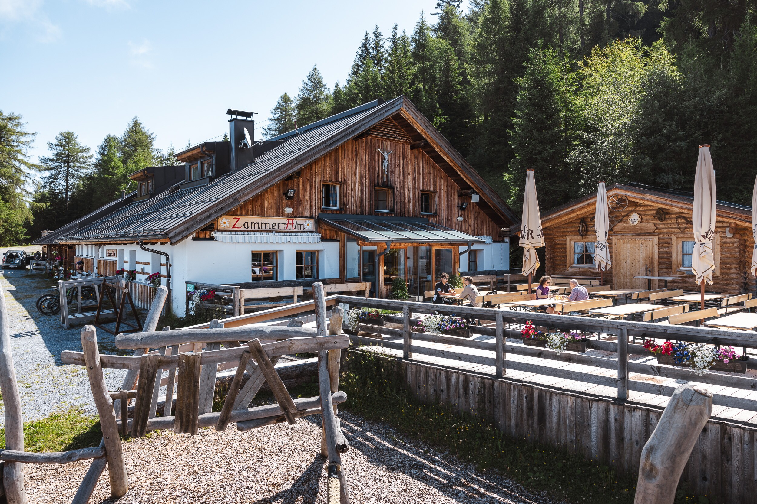
| Starting point: | Zammer Alm / Schihütte Zams |
| Finishing point: | Fließ |
| Path surface: | Forstweg, Steig, Asphalt |
Fitness & technique | |
|---|---|
| Fitness: | 3 |
| Technical: | 3 |
Best season | |
|---|---|
| May: | Yes |
| Jun: | Yes |
| Jul: | Yes |
| Aug: | Yes |
| Sep: | Yes |
| Oct: | Yes |


Recommendable for Zammer Alm / Schihütte Zams - Jagerhütte - Fließ
In areas ofRestaurant, Mountain hut, Alpine pasture, Motorrad Ausflugsziele

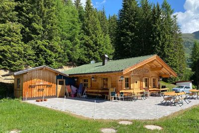
Alpine pasture: Jagerhütte 1 700m
Idyllic location at 1700m; above Fließ; insider tip on the Venet southern slope in the Venet hiking region.

Motorrad Ausflugsziele: Archaeological Museum Fliess
The archaeological museum in Fliess contains finds (weapons, jewelery, coins, ...) from the prehistoric burnt-offering site at the Gachen Blick as well as a Bronze Age treasure trove from Moosbruckschrofen and the Hallstatt-era Bronzehort of Fließ.
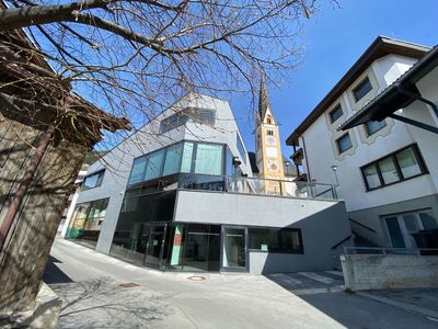
Motorrad Ausflugsziele: Documentation Center VCA
The Documentation Center Via Claudia Augusta documents the Roman Kaiserstraße. In the display cases, finds from the Via Claudia Augusta and a copy of the Tabula Peutingeriana, the only surviving Roman road map, can be admired.