At a Glance | |
|---|---|
| Difficulty level: | medium difficulty |
| Elevation loss: | 178 m |
Information | |
|---|---|
| Walking time / descent: | 1 h |
| Walking time / ascent: | 0.75 h |
| Starting point: | Tobadill parish church |
| Finishing point: | Tobadill parish church |
| Path surface: | Asphalt, steep path |
Fitness & technique | |
|---|---|
| Fitness: | 2 |
| Technical: | 3 |
Best season | |
|---|---|
| May: | Yes |
| Jun: | Yes |
| Jul: | Yes |
| Aug: | Yes |
| Sep: | Yes |
| Oct: | Yes |
Route type | |
|---|---|
| Circular hike: | Yes |
| Family hike: | Yes |
Getting there | |
|---|---|
| Arrival by public transport: |
From the Landeck-Zams train station, take Line 4 to Tobadill (Kirche stop). Please check the SCHEDULE. |
| City: | Tobadill | Pians |
 TirolWest


Recommendable for Gondawald-trail Tobadill
In areas ofSightseeing, Gemeindeamt
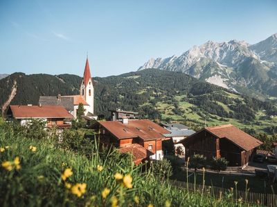
Sightseeing: Parish Church Tobadill
Parish church Hl. Magnus - Since 1705 a chapel is attested in Tobadill. The present church was built from 1735 to 1737 by Kassian Grießer. In 1768 it was extended with a tower. There is also a parking lot at the church.
