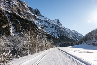
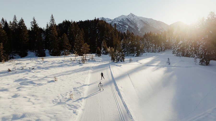
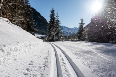
When a glistening blanket of snow covers the nature park in the winter months, it transforms into a cross-country skiing paradise. Here on the Kaunergrat
, sport is combined with an experience of nature: the crunching of the snow under your skis, the gentle rustling of the forest and the clear mountain air accompany cross-country skiers on their journey through this winter wonderland.
Neururer cross-country skiing trail
Read more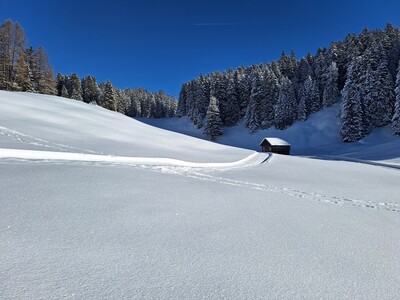
Bärenbad cross-country skiing trail
Read more
Hubertus cross-country skiing trail
Read more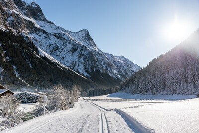
Stillebach cross-country skiing trail
Read more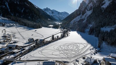
Boden cross-country skiing trail
Read more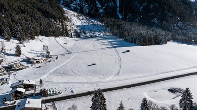
Scheibrand cross-country skiing trail
Read more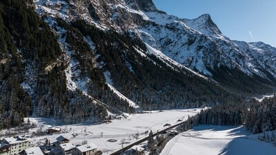
Chapel Cross-country skiing trail
Read more

Nassereith cross-country trail
A beautiful 8 km long trail for both skating and classic cross-country skiing.
Read more

Cross-Country Ski Run from Obstieg to Gschwent (No. 2)
Read more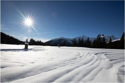

Loipe Ganderau
The Ganderau cross-country trail in St. Jakob am Arlberg is an easy, beginner-friendly track, ideal for newcomers and less experienced skiers. The flat route runs without technical challenges through the quiet winter scenery surrounding St. Jakob. Starting points are located east of the Tirolerhof or at the fire station, making the trail easily accessible.
Read more
Verwallrunde
The Verwall cross-country trail in St. Anton am Arlberg is a moderate 10.3 km route with a varied profile and approximately 140 meters of elevation gain. Starting opposite the Hotel Mooserkreuz, the groomed winter trail leads away from the road through the Verwall Valley and circles the Verwall Lake. With its constant alternation of climbs and descents, the trail offers ideal terrain for athletic cross-country skiers, joggers and winter hikers.
Read more
Loipe Stanzertal
The Stanzertal cross-country trail in St. Anton am Arlberg is an easy, family-friendly track that starts at the recycling station and follows the gently descending Rosanna valley. The route offers access points in every village of the holiday region and leads all the way to Flirsch and back. Early on, the trail includes a blind downhill section where extra caution is advised.
Read more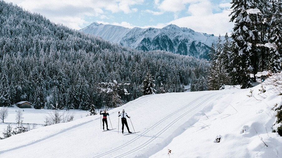
C1 - WM2019
C1 World Cup Trail 2019: Sporty journey through time along the original tracks of the 2019 World Championships at Seefeld Seekirchl.
Read more
B1 - Mösern
Perfectly prepared for classic and skating, including sections of the 2019 World Championships.
Read more
Wildmoos circuit (classic & skating)
Cross-country ski circuit with demanding forest passages from Seekirchl to Wildmoos and back.
Read more
B11 – Waldloipe
B11-Forest Trail: Idyllic landscape route for experienced cross-country skiers.
Read more
Hoch-Imst cross-country trail
The 2.5 km long Hoch-Imst trail is ideal for beginners and leisurely skiers.
Read more
Loipe Grasse-Runde | Kaunertal
Beginning at the central starting point opposite the Quellalpin, the trail follows the Faggenbach into the valley.
Read more
Kitzgarten cross-country skiing trail
Read more
Wasserfall cross-country skiing trail
Read more


Practice Cross-Country Ski Run in Obsteig (No. 1)
Read more
Cross-Country Ski Run from Mieming to Gschwent (No. 2)
Read more
Obsteig to Arzkasten Cross-Country Ski Run (No. 3)
Read more
Cross-Country Ski Run from Obermieming to Affenhausen (No. 1)
Read more
Teilwiesen cross-country trail
Moderately difficult 7 km trail suitable for both skating and classic cross-country skiing.
Read more
Kaunertal loop trail
The big picture. With the exception of the Winkel and Grasser circuits, it runs through all the circuits in the Kaunertal.
Read more
Already from one overnight stay there are many offers free or reduced:
+ Daily free use of all regional bus lines
+ Venet mountain railroad
+ Guided adventure and culinary hikes