At a Glance | |
|---|---|
| Difficulty level: | medium difficulty |
| Elevation loss: | 535 m |
| Walking time / ascent: | 2.75 h |
Information | |
|---|---|
| Walking time / descent: | 1.5 h |
| Starting point: | Venetbahn Mountain Station |
| Finishing point: | Venetbahn Mountain Station |
| Path surface: | Alm- und Wiesenwege |
Fitness & technique | |
|---|---|
| Fitness: | 4 |
| Technical: | 3 |
Best season | |
|---|---|
| Jun: | Yes |
| Jul: | Yes |
| Aug: | Yes |
| Sep: | Yes |
| City: | Zams | Fließ |

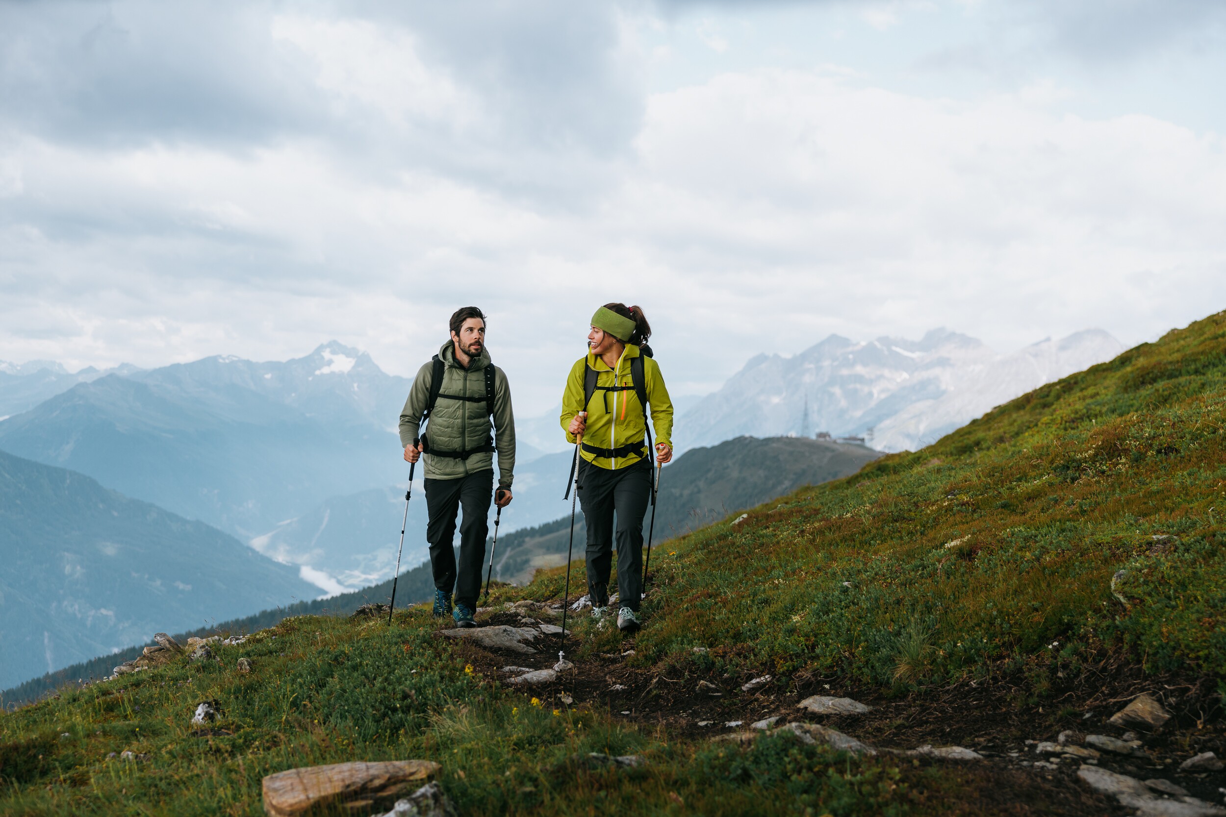

Recommendable for Krahberg - Glanderspitze - Gogles Alm
In areas ofAlpine pasture, Restaurant, Hotel

Alpine pasture: Gogles Alm 2 017m
The Gogles Alm (2.017m) can be reached via an alpine and meadow trail from the mountain station of the Venet mountain railway in about 1 hour.

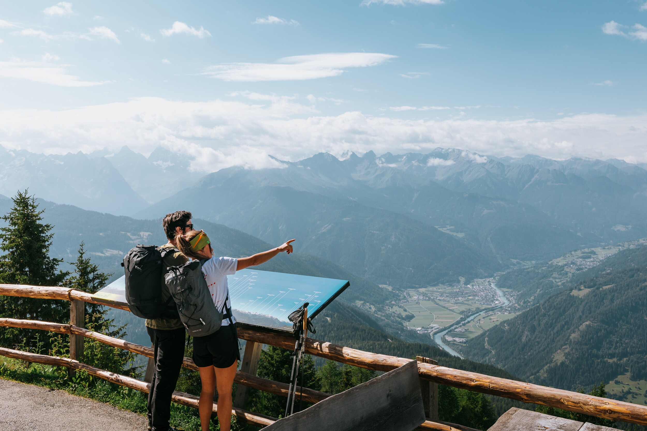
Restaurant: Venet Panoramarestaurant
The panorama restaurant on the Venet is a real treat in two senses. The view of the breathtaking mountain scenery turns even a small snack into a feast.

Hotel: Venet Gipfelhütte 2 208m
Welcome to Venet Gipfelhütte! The fabulous view is the outstanding feature of this hotel. Enjoy them with a drink on the large sun terrace - comfortable sun loungers and a barbecue area invite you!